
Above: Map of Inner London showing the old county boundaries.
This article describes the relationship between the City of London and of the four counties that existed for many centuries, until the formation of Metropolitan London.
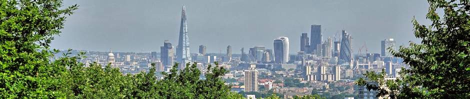
City of London
It is important to grasp the fact that, although the City of London was surrounded by the County of Middlesex, it was never part of Middlesex. It had its own Lord Mayor and its own government. That is why, even today, it has its own Police force and still has its own Lord Mayor who is completely separate from the Mayor of London.
To emphasise the point of the City of London being a separate administration, we will look at an example of Canterbury. Canterbury is the county city of Kent and it is also in the County Kent. Canterbury is not separate from Kent, it is part of the County of Kent – and that has always been the case. Similarly with Norwich being the county city of Norfolk. The City of London has a unique status because it has never been ‘within’ a county.
The Counties
During the four centuries that the Romans occupied Britain, the tribes that had been living on the land long before the Romans arrived, were often displaced by new Roman settlements being built – like Colchester, St Albans, Rochester and Winchester. However, the tribes continued to live in Britain and, when the Romans withdrew. Then the Saxons came over to England. Over the centuries England was gradually divided into counties. Around London, there are four Counties to be considered – Middlesex, Essex, Surrey and Kent.
As has already been mentioned, after the Romans left England, what had been Londonium was eventually to become a Saxon city. Archaeologists now use the name Lundenwic for its name. In AD 604 a cathedral was established on the site of what is now St Paul’s Cathedral. The Saxons laid out many of the roads in the City that we know today and re-established a port along the riverside, including two docks at Queenhithe and Billingsgate. Only the City continued to be called ‘London’. Anyone living in what we now call Inner London regarded the place where they lived as being within one of the four Counties.
County of Middlesex
On the north side of the Thames was the large County of Middlesex. Even Westminster was in Middlesex. If you walk to the west side of Parliament Square you will see an ornate building which, since 2009, has been the home of the Supreme Court of the United Kingdom. The building was originally erected as the Middlesex Guildhall. This is just one example to show that Middlesex covered land in Westminster, right up to the River Thames. Until the 1900s places like Clerkenwell, Hampstead, Paddington, Stepney, Hackney and many others were in the County of Middlesex. They were later absorbed into Metropolitan London.
County of Essex
To the east of Middlesex is the County of Essex. While parts of today’s Greater London extend into Essex, the old Metropolitan London only absorbed parts of Middlesex, Surrey and Kent. The boundary between Middlesex and Essex was the River Lea (or Lee). The river still accounts for some of the borough boundaries today – like parts of Hackney and Tower Hamlets. None of Metropolitan London was within of the County of Essex.
County of Surrey
On the south side of the Thames was the County of Surrey. The County extended east to an irregular boundary with Kent. The boundary ran south from the Thames, through New Cross (along Jerningham Road near Telegraph Hill), crossing land now laid out as Horniman Gardens (there is a short road called Surrey Mount near Horniman Gardens) and then running near the line of the road called Sydenham Hill. The Old Kent Road was in Surrey and was so-called because it led to the County of Kent. Rotherhithe, Peckham and Nunhead were all near the Surrey border until they were absorbed into Metropolitan London.
County of Kent
To the east of Surrey was the County of Kent. This included Greenwich, Lewisham, Lee, Blackheath, Eltham and Woolwich – among other place names – which were all absorbed into Metropolitan London.
-ENDS-

I can see how the old Middx / Essex border came about using the river Lea, but how was the Surrey / Kent border formed?
LikeLike
Thank you for your interest in the Know Your London Website. As you mention, the boundary between Surrey and Kent is a bit of a problem to understand. I am afraid I am not going to much help because there are so many questions to sort out – to which the historians do have satisfactory answers. The point at the Thames, where the boundary starts, was a minor stream called the Earl’s Sluice – so-called because the water flowed in a ditch. From that point, the county boundary followed parts of parish boundaries, latching onto one parish boundary and then another. Because much of the boundary ran across land that was high (including Crystal Palace), there were no streams to form a simple boundary. The larger the scale of the map you look at, the easier it is to see where the county boundary ran but you need a pre-1900 map. Once all that has been sorted out, to say ‘The county boundary followed parish boundaries’ then begs the question ‘Who devised the original parish boundaries in this part of Inner London?’. Of course, nobody knows the answer. I am sorry I cannot be more precise.
LikeLike
Many thanks. and well anticipated, as I was reading your answer I am thinking yeah well who are these bounders who set the Parish boundaries in the first place; Lords of the manor, or Church land I suppose.🤔
I suggest a series on the Parishes that ran along either side of these borders, please.
LikeLike